Discover campus maps
The Campus Map is a good starting point to destinations, parking, and bus routes and stops.
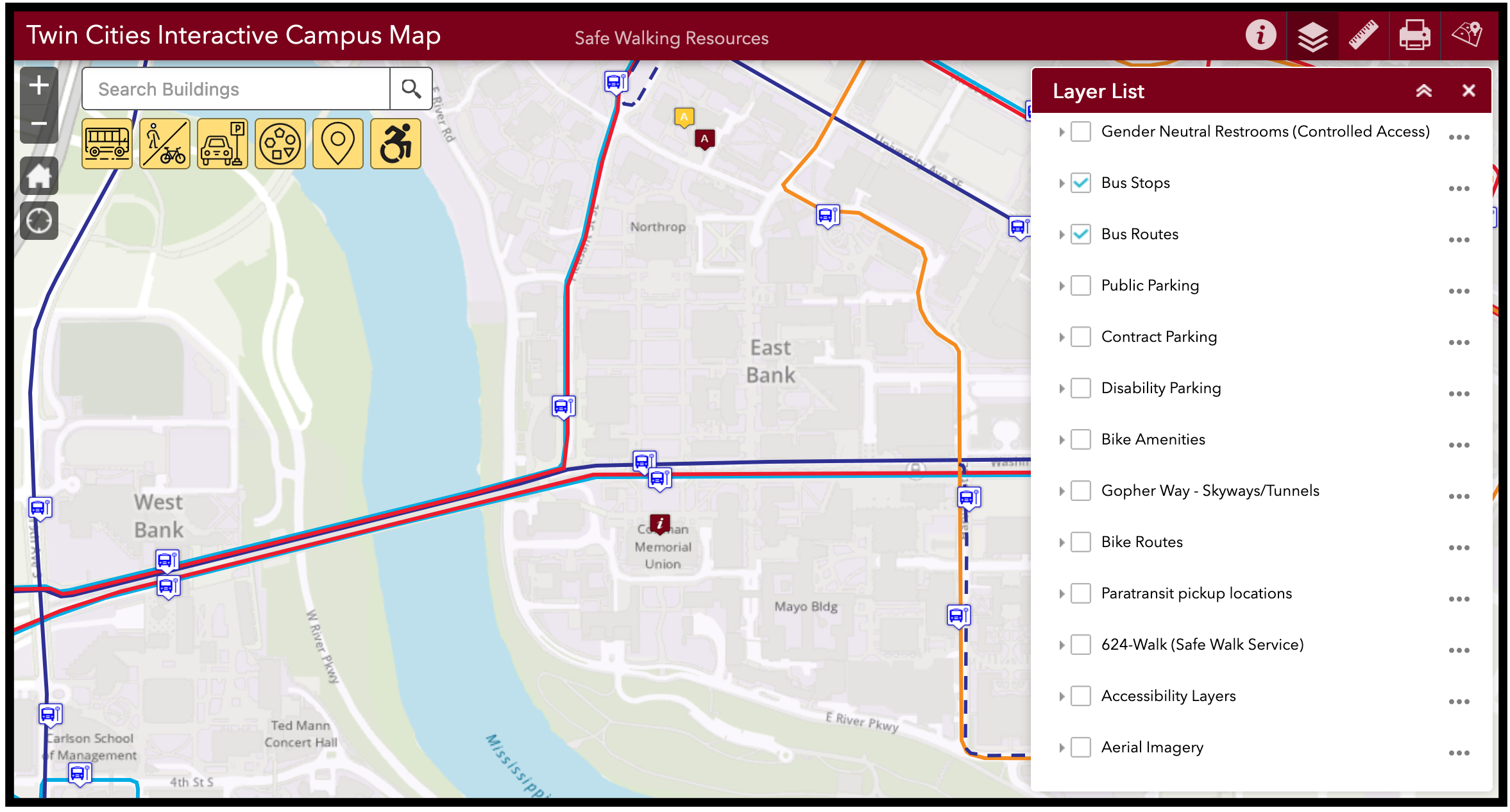
Use it to find:
- building locations
- study spaces
- food & coffee shops
- parking areas
- bike & scooter lanes
- transit stops & routes
- pedestrian paths including the Gopher Way tunnels & skyways.
Getting around safely
For any time of day! Free walking escorts are available for campus locations and nearby neighborhoods.